


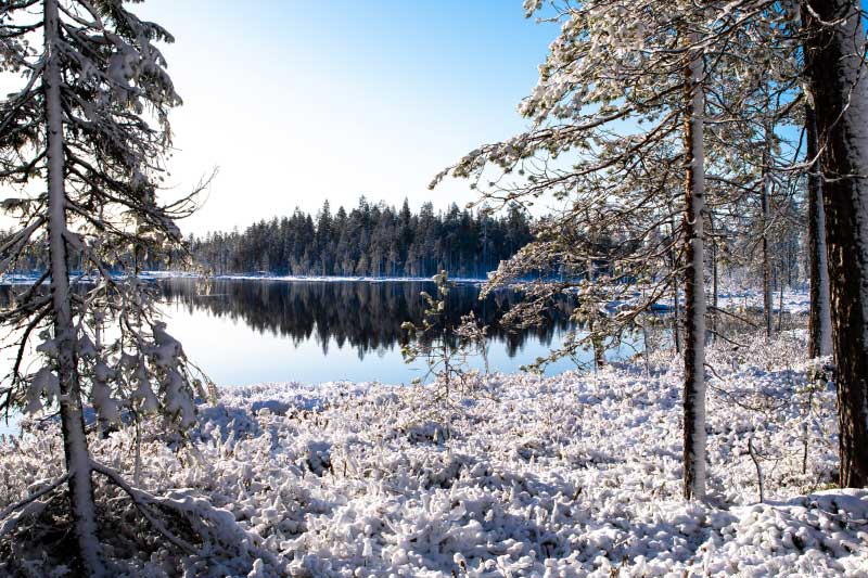
Rugged ridges and sandy beaches
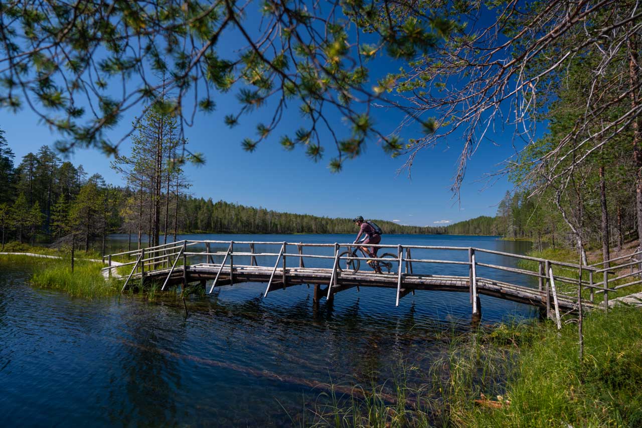
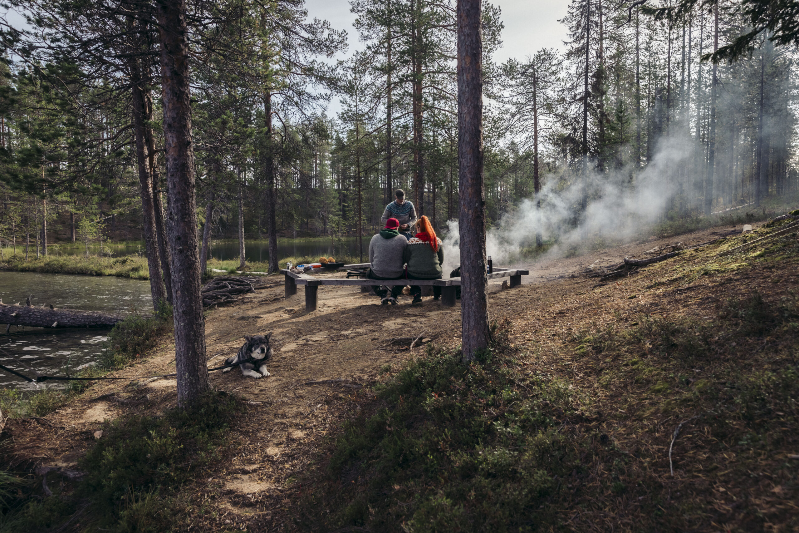
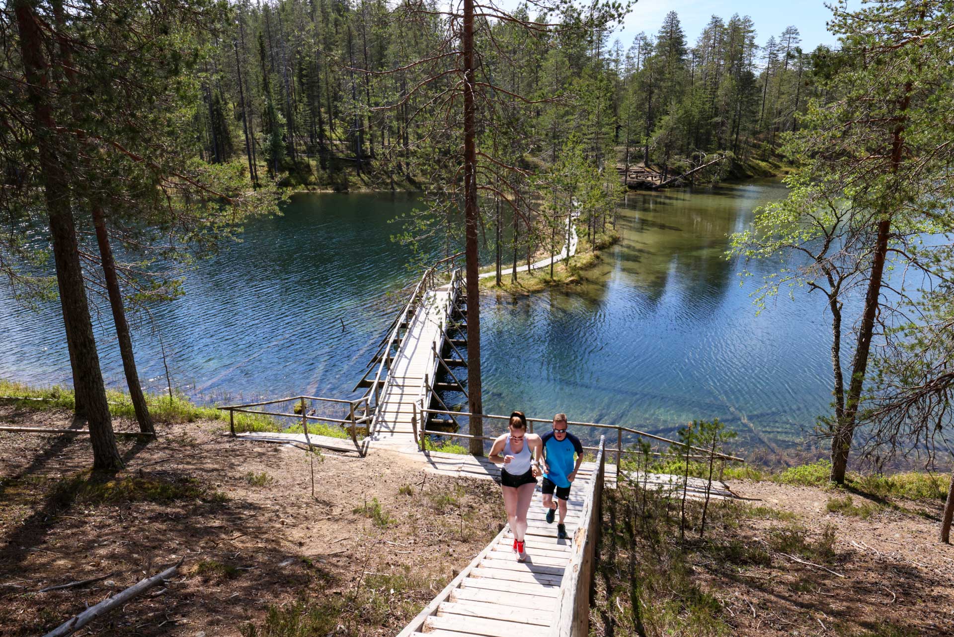
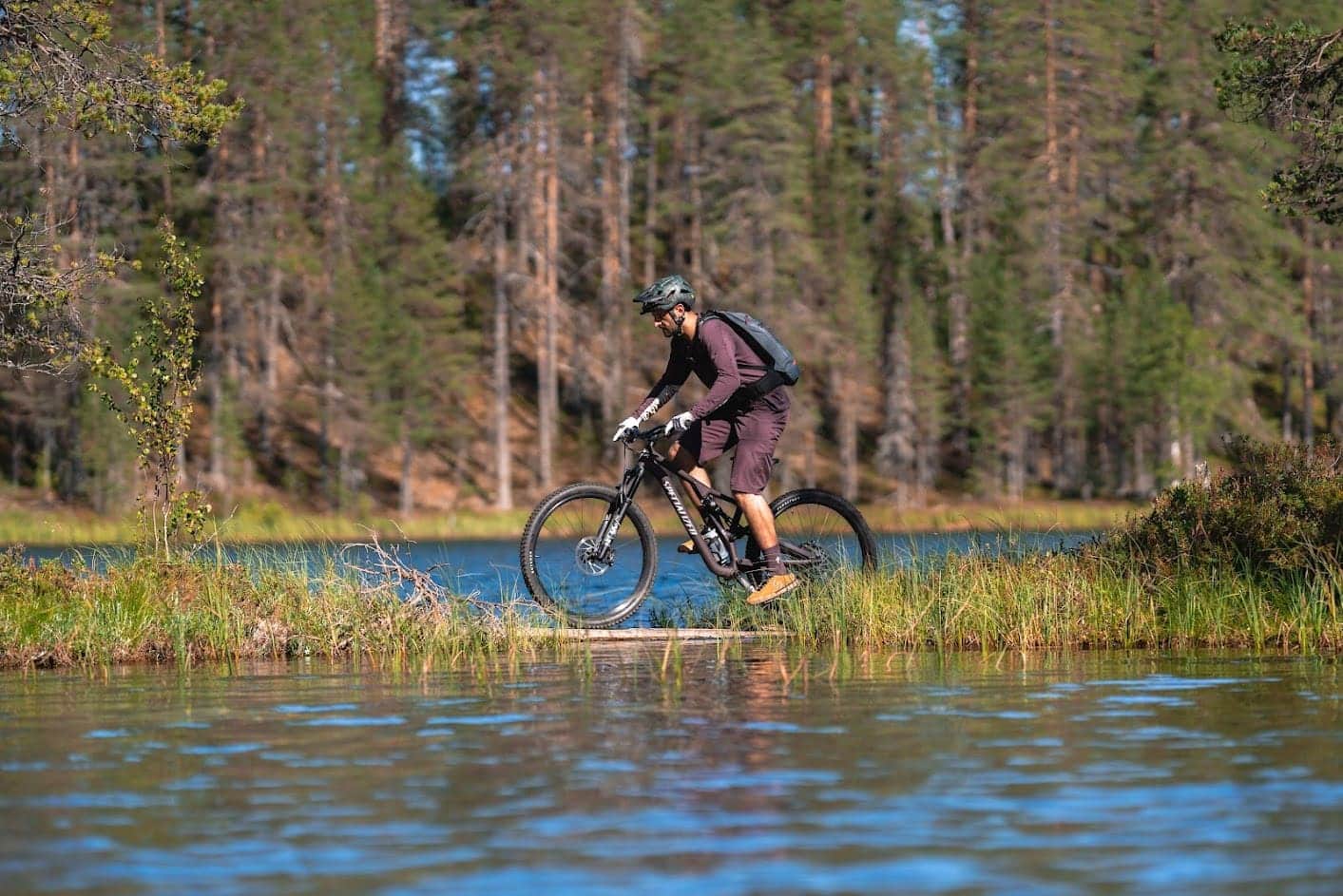
Soiperoinen is a nice hiking destination, about half an hour’s drive from Taivalkoski. Clear waters rippling at the shore, and nature changing from pine forests to high ridges inspire all visitors to enjoy the beautiful landscape. The rest stops in the area are located in suitable intervals.
The trail is marked on the terrain with orange painted signs. The route goes through the dry boreo-nemoral forest up to the ridge, which spans through Soiperoinen and Lake Rääpysjärvi. On the ridge, eagle-eyed travellers can spot reindeer trapping pits, which are remnants of the hunting culture of the forest Sámi who used to live here. The path follows the top of a high ridge, and you can take a loop trail to Poromyhkyrä, which has a shelter on the way.
Starting point: Soiperoisentie 57-59, Taivalkoski
Length: 4.8 km
Duration: 3 h
Passable: A walking route in the summer period. The road is closed from December to May.
Difficulty: Moderate (some differences in elevation and sections that are difficult to pass. Sufficiently signposted and marked on the landscape.)
Route markings: Route signposts and orange route markings