

THE ANCIENT SAMI SACRIFICE SITE
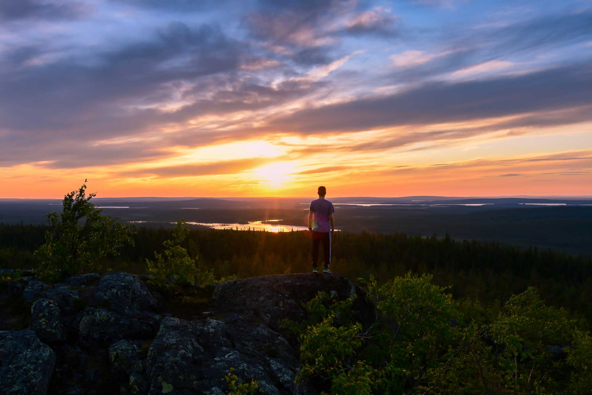
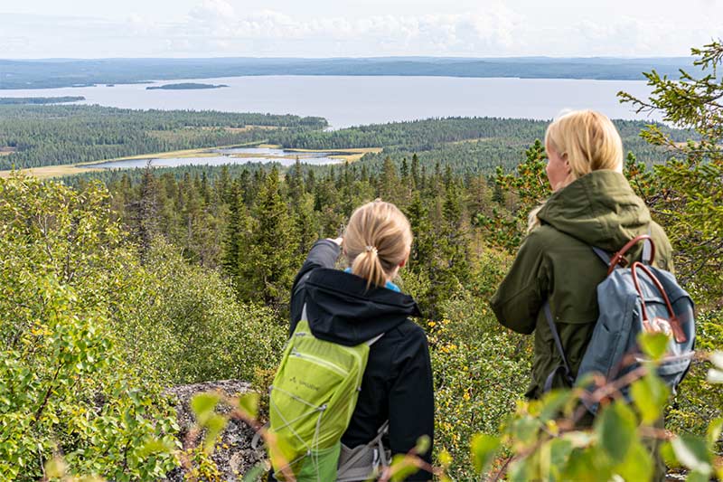
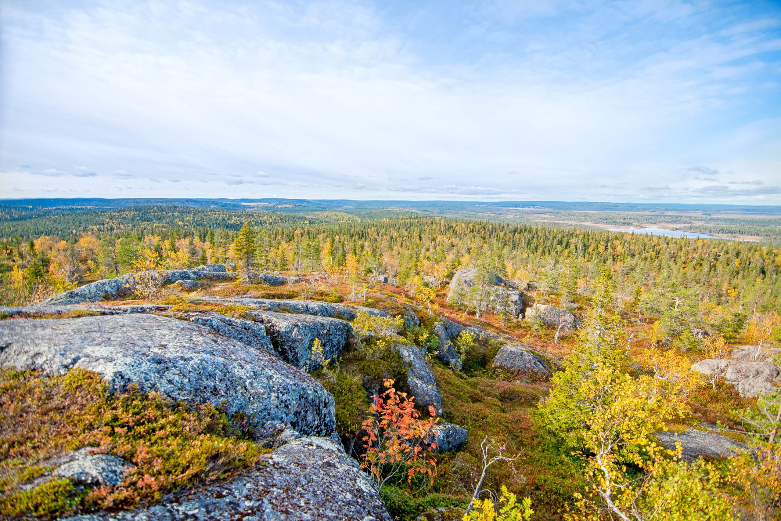
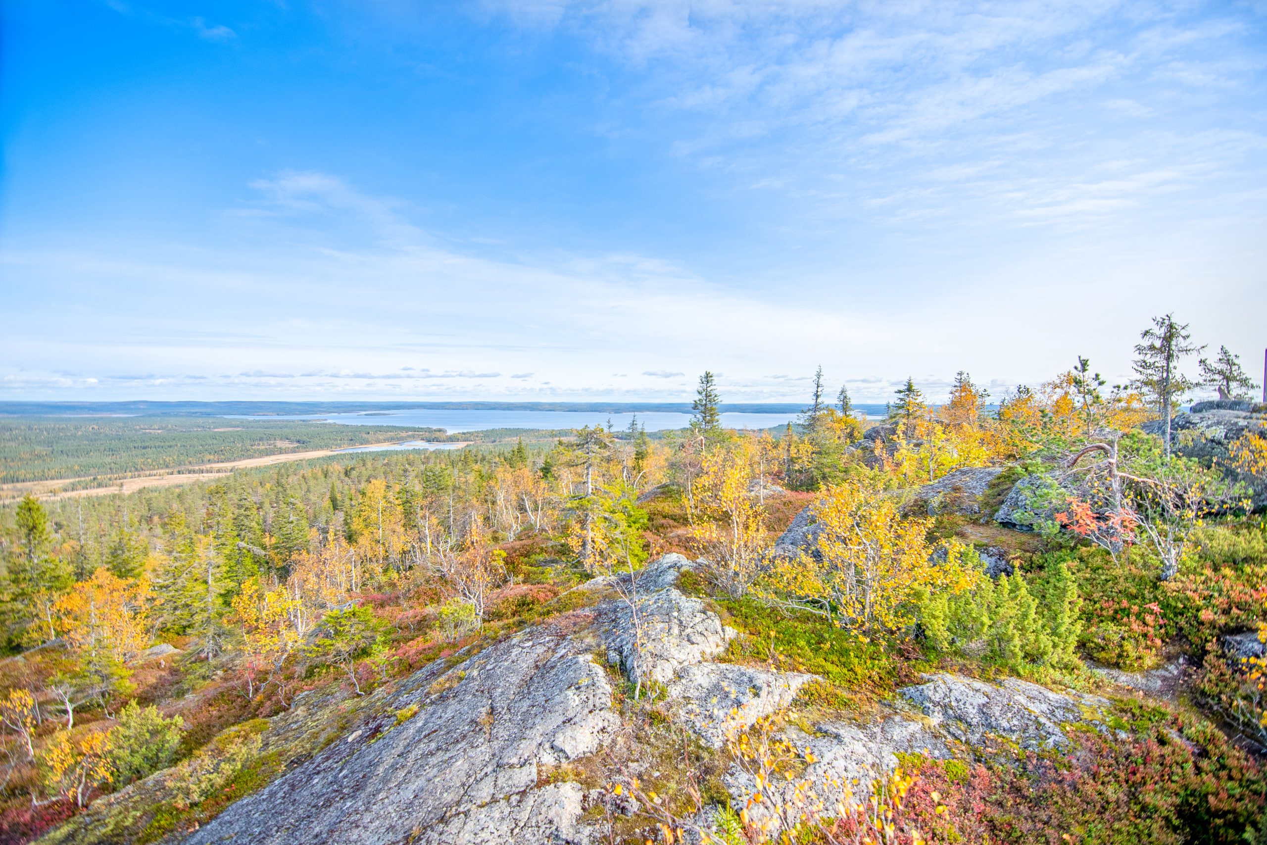
On a clear day, the summit of Pyhitys offers a sweeping panorama: Ruka can be seen to the east, Riisitunturi rises in the north, and the peaks of Syöte appear in the west. While Pyhitys may not match its neighbors in height, it more than makes up for it with its untouched wilderness, remote location, and truly unique atmosphere.
At 422 meters, Pyhitys even surpasses the famed Koli hill (347 m), reminding us that true presence in the landscape is not just about height — it’s about character, solitude, and the magic of wild nature.
The stone slabs on this fell are a remnant of the times when the Sami people lived here. Thousands of years ago, the local tribes tried to guarantee hunting success by sacrificing some of the bounty of the forest and the lake to the gods. In a landscape so timeless and still, it seems more likely you'd meet a forest troll among the stones than another soul.
There is a 2 km hike from the parking area to the summit. Half-way along the route, there is a shelter for hikers. Up to the shelter, the route follows a forest road, but after that, it becomes a more challenging trail. Over the course of two kilometres, the elevation increases by 160 metres.
Starting point: Vaarakyläntie 235-241, Taivalkoski
Length: 2 km
Duration: 2 - 3 h
Passable: a hiking route in the summer. The road is closed from December to May.
Suitable for families – the trail includes a steep uphill section, but it’s manageable even with children.
Route markings: Route signposts and yellow route markings